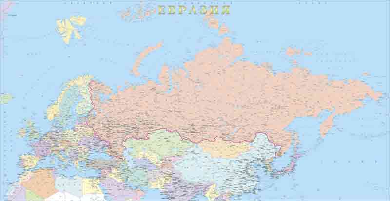
"The Political map of Eurasia." (Scale 1 : 8 mln.)
The map shows the countries situated on the territory of Eurasia, administrative division, regional centers, cities and towns, railways and motor roads; state, federal areas and administrative boundaries.